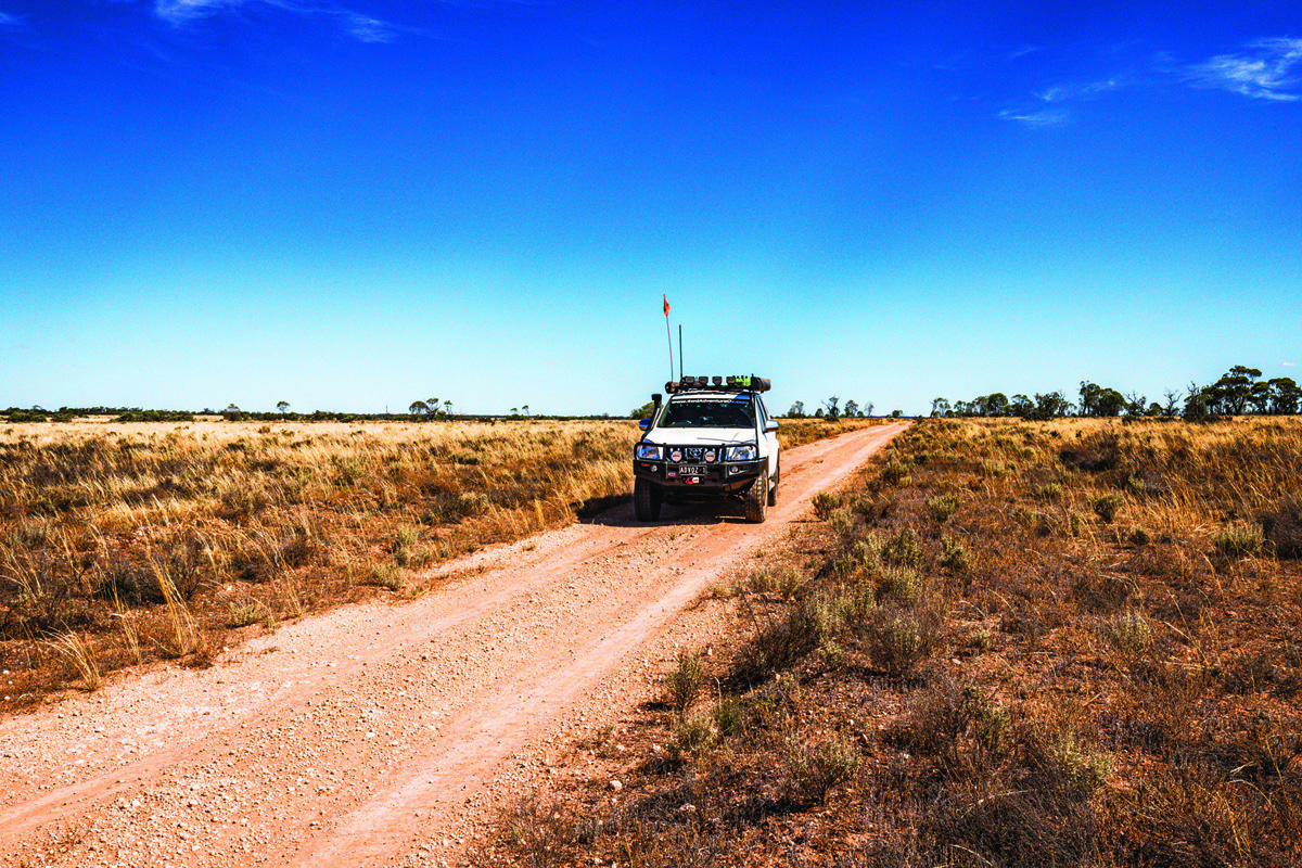
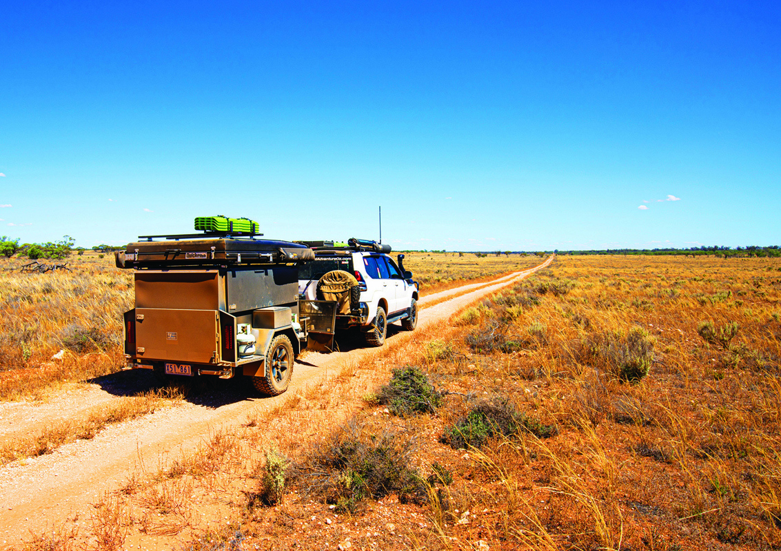
Once the bitumen ends, a left turn onto the goat track leads to a gate and access to the Murray Sunset National Park. Once through the closed gate, it seems different, and feels different too. Was it the recently graded track, or the lack of visible wildlife? I wasn’t sure, but I was certain I’d find out before I left.
I’d taken the Millewa Road just south of Red Cliffs which leads west past the silos in Merrinee, Werrimull, Bambill, Yarrara and Meringur, before reaching the T-intersection with Morkalla North Road approximately 90km from the Calder Highway. Having explored Western Victoria’s Silo Trail, the tall concrete structures along this route are crying out for some talented artist to create some more masterpieces.
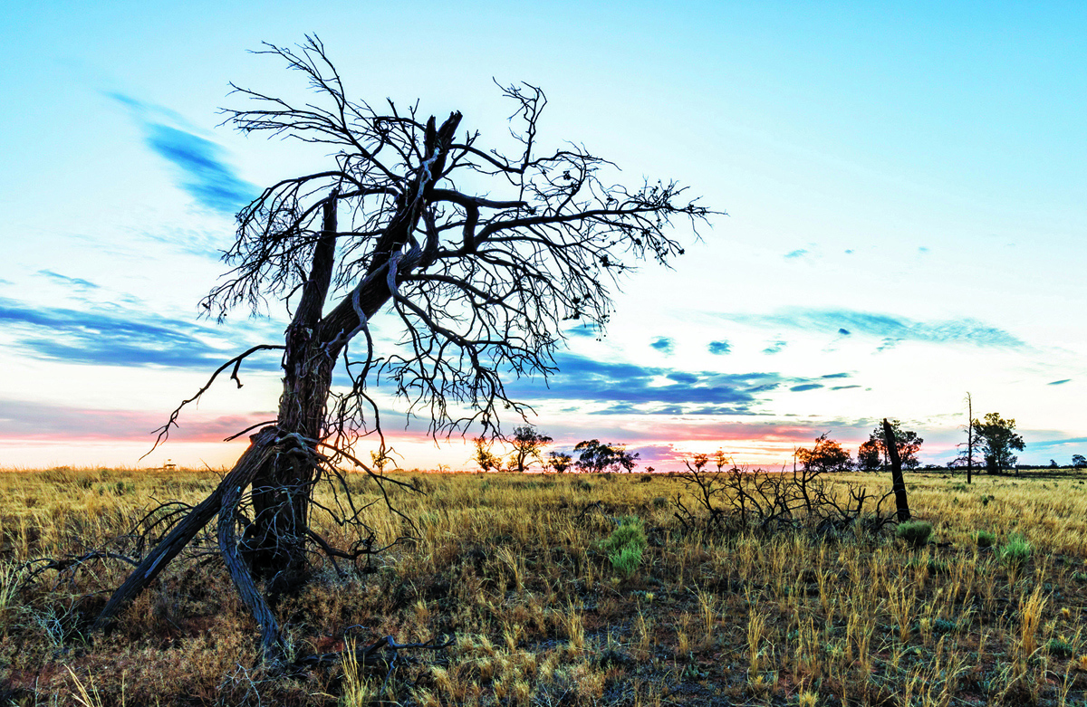
The Murray Sunset National Park is located in the far north-west of Victoria and stretches from Lindsay Island in the north, to Underbool and the Pink Lakes in the south, the Calder Highway in the east and the South Australian border in the west. Visitors are often spoiled by the colourful sunsets and clear star-filled nights.


THE FIRST STOP
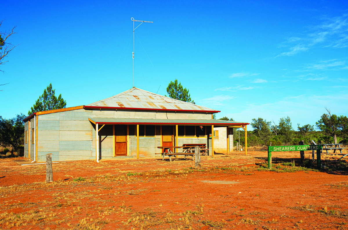
The Shearers Quarters campground is a great spot to set up for exploring the northern sections of the park and was where I was heading. On arrival all my past nights spent here came back to me, especially thinking the wind whistling through the native cypress-pines sounded like a jet aircraft flying high in the stratosphere or a car approaching from far away. It’s the same breeze that makes the summer temperatures seems less oppressive and helps ward off the flies.
The campsites here are dispersed, with a couple of tables and three designated firepits. Fires are only allowed within the rings, so you might need to share them with fellow campers, and BYO milled wood is required as the collection of wood isn’t permitted within the park. There is a pit toilet here too that will hopefully be updated soon to a more efficient type of drop toilet.
The historic Shearers Quarters can be hired out before arrival, so you can gain the entry code to the quarters. This self-contained cottage was once used by men who used to muster stock through sections of the park. It now sleeps up to 10 people and has a gas fridge, hot showers, flushing toilet and a limited supply of non-potable water. You’ll need to supply drinking water, bedding, cooking gear and firewood.
HEADING OUT EXPLORING
Once settled into camp, there are a plethora of tracks throughout the park generally running north to south and east to west. If you want to explore Murray Sunset throughout, allow a good week to cover the kilometres of tracks, as the going is slow most of the time, it will take longer to cover distances than you anticipate.
While Pink Lakes in the south of the park is accessible by 2WDs, 4WDs with high clearance are what Parks Victoria recommend as the preferred option.
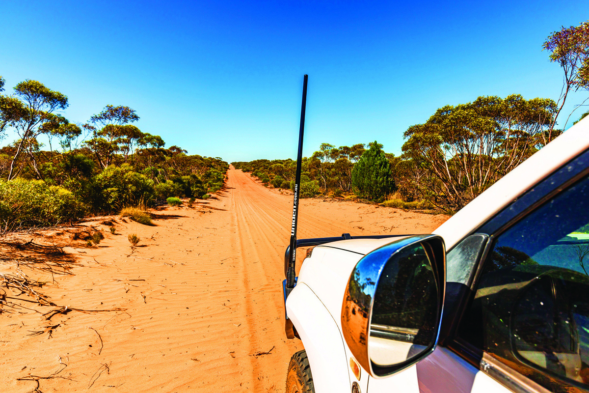
From the campground, I headed south along the Millewa South Bore Track turning east onto Pheenys Track. Wanting to check out Mopoke Hut, I continued for an hour or so, past mallee gum and Belah trees that dominate the Minook and Galpunga Wilderness areas. A right-hander at the junction with Underbool Track which I followed before taking a sharp left onto Last Hope Track.
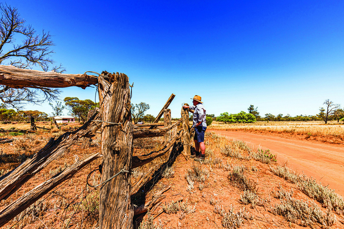
Upon reaching the crossroad with Rocket Lake and Mopoke Tracks, I took the latter, winding through the cypress pines and around some dunes, startling a couple of western grey kangaroos who were relaxing in the shade. Even this early in the day, the outside temperature was rising quickly. Just before the turnoff to Mopoke Hut, I spotted a newly fenced area off to the left. Goats have been a problem in the park in the past, so I wondered if it was a water trap to help capture a herd or two.
Mopoke Hut sits vacant next to an old stockyard, built from the nearby Native cypress pines. There is also a campground with picnic tables, firepits and drop toilet and rainwater tank. You can check out the two-bedroom hut — it’s a good place to hide from the flies while you enjoy lunch and the bush bees that are attracted to the water tank. You can read about the history of the hut further below.
THE NEXT SPOT
After leaving the hut I retraced my steps back to the crossroad, before following the Rocket Lake Track north. The 10km southern section of Rocket Lake Track was slow going, with deep sand on the dunes that becomes softer in the heat of summer, though some relief was enjoyed in the swales between the dunes.
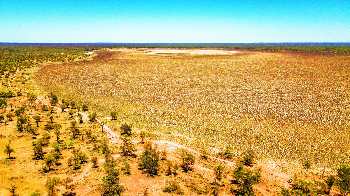
Rocket Lake was named by the workers on the Nowingi rail line as the bosses sent up a rocket to let the workers know when it was break time. These days it is a wide-open expanse that hasn’t seen water in many years. The camping here is good also with picnic tables, fire pits and an updated drop toilet with non-potable water tank.
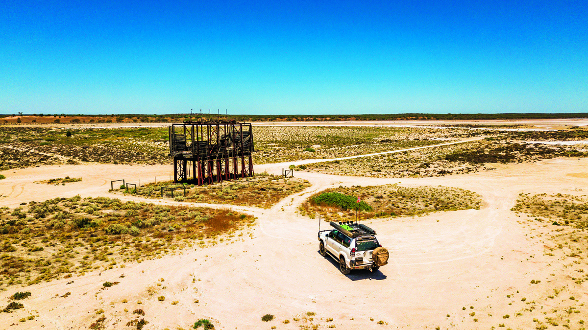
Following the Nowingi Line east, I kept an eye out for the metal stakes used to pin the tracks to the railway sleepers as they still lie around and can destroy a tyre. A relic from the old gypsum mines still stands tall beside the track, the Gypsum Hopper looks like something out of Star Wars.
Continuing along the Nowingi Track for a short distance, I then turned north onto Meridian Road following it to the junction with Settlement Road that runs along the boundary with open wheat fields of the Mallee. I was encouraged by the sighting of red kangaroos and shocked a small herd of goats as I rounded a corner and watched as they scattered into the scrub. A wedge-tailed eagle, meanwhile, took flight from its nest in a mallee gum, not happy about being disturbed.
As I cruised along Settlement Road, I again wondered what had given me that sense things were different, and then it hit me. The tracks were in such great condition because of the lack of human traffic. At times, the only tracks I was crossing were those of insects, reptiles and critters that have enjoyed the peace, quiet and lack of disturbances of humans over the past few months.
One of my favourite trails is Taparoo Track that leads north from Settlement Road to the Stuart Highway. It’s a beautiful drive across the Copi Plains, and in the past the sheep loved it too when they roamed this district. Previously, I’ve seen plentiful numbers of emus and kangaroos enjoying the wide-open spaces, but this time the gypseous plains were vacant. I only ventured as far as the old ‘Taparoo’ Homestead site. There’s not much left now except a collection of old cars that seem out of place.
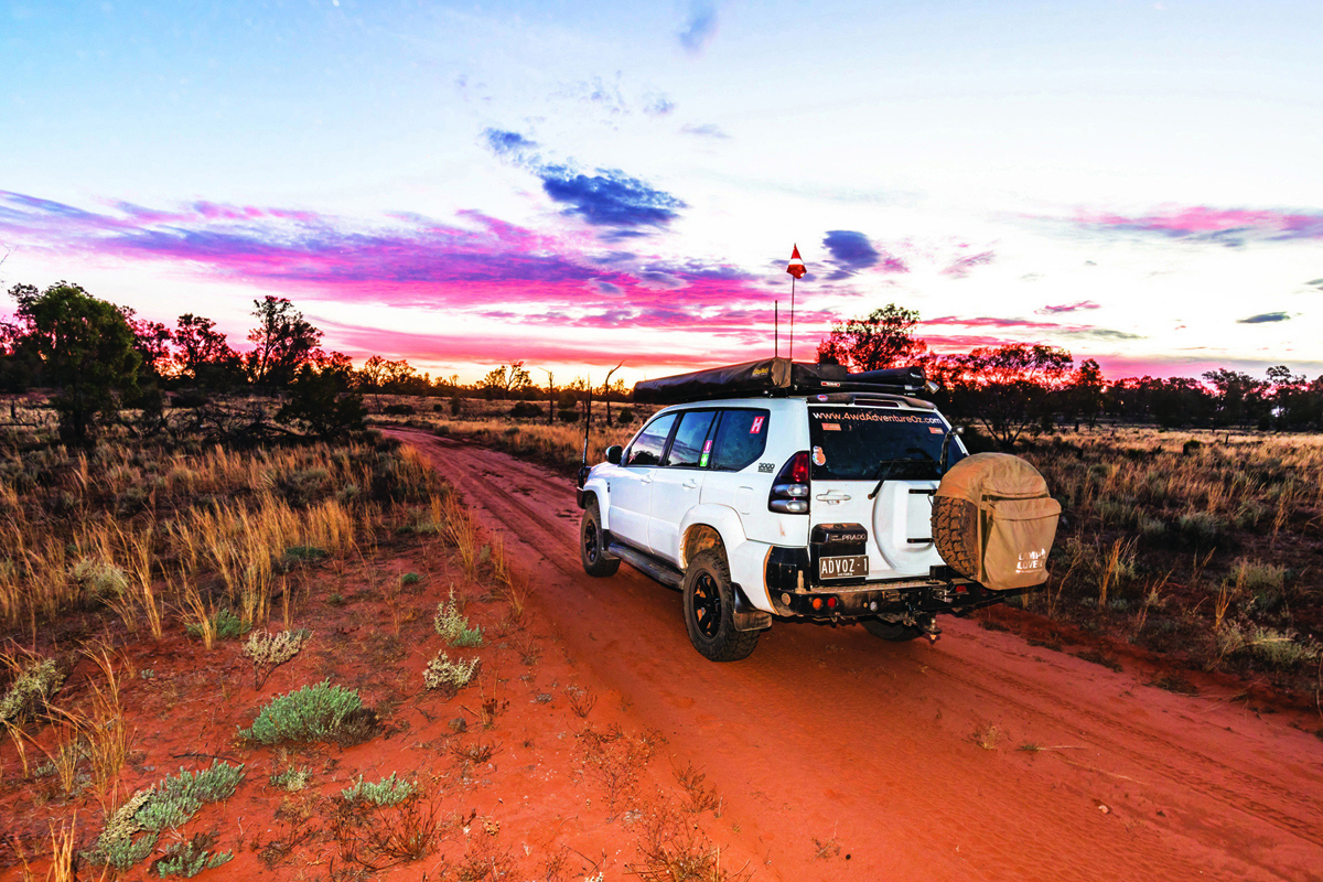
On my way back to the Shearers Quarters campground, I was able to get a weather update, thanks to my newly installed Cel-Fi Go that provided mobile coverage where usually none exists. A prediction of rain looked possible, as the blue sunny skies were replaced by clouds blown in by a cool wind, that strengthened during the night.
I was woken by raindrops on the camper so put my skates on and quickly closed up my rooftop tent before packing up camp. As I drove out past the Shearers Quarters, the heavens opened, and it was a challenge to get back to the bitumen as the tracks became slippery in a short time. I was soaked to the skin by the time I’d closed the gate behind me, thankful to see good summer rain and to have reached the blacktop safely. As usual, Murray Sunset has thrown up some surprises, confirming that it is still a favourite haunt of mine.
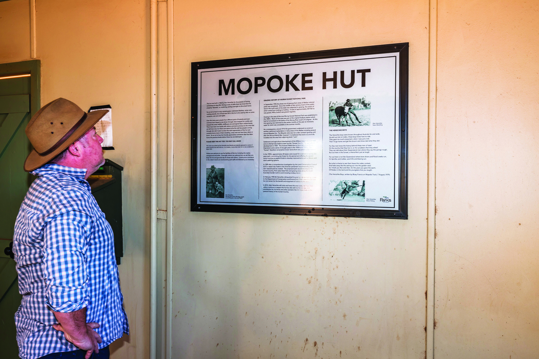
THE HISTORY OF MOPOKE HUT
Mopoke Hut was constructed in 1962 by Bill Henschke as somewhere to rest after driving a mob of his cattle on horseback from his ‘Yaramba’ property, or mustering and yarding overnight to drive back home. To save having to carry sleeping and cooking gear, he built the hut.
The Henschke family were well known and fella named Bluey Francis penned this poem about them in 1979.
The Henschke boys were known throughout Australia far and wide,
As pick up men at rodeo, these boys knew how to ride.
They gave me much enjoyment, when I was just a kid,
Then I’d go home and get the broom and show dad what they did.
For few men know the history behind these men of steel,
Or the country that they live in, or the scrubbers that they wheel.
They can talk about their Queensland men where they say the goings rough,
But out here in the Sunset, a Henschke’s just as tough.
For out here is not like Queensland where bore drains and flood creeks run,
It’s Spinifex and mallee, sand hills and blazing sun.
But what a shame to see them leave the rodeo contest,
And fade away like the setting sun into the golden west.
So I thank you Ron and Alan, for the years you gave the sport,
Of rodeo in this land and the youngsters that you taught.
Bill relinquished his grazing licence to the Government in February 1990 stipulating that the hut remains as a place for travellers to stay. Unfortunately, the hut was badly vandalised in 1991 but was thankfully rebuilt by the Mildura 4x4 Club.
TRAVEL PLANNER
REGION: North-west Victoria
NEAREST TOWN: Murray Sunset is 550km from Melbourne and 400km from Adelaide. Mildura and Renmark are the largest towns nearby and have all the facilities you need.
WHEN TO GO: The cooler months from April to September are the best times, but access may close after rain. The warmer months bring native bees that are attracted to water.
ACCOMMODATION: Within Murray Sunset there is free camping at Lake Crosbie, Mt Crozier, Mopoke Hut, Rocket Lake and the Shearers Quarters, each with pit toilets, tables and fire pits. Non-potable water may be available depending on conditions.
WHAT TO TAKE: You will need to be self-reliant and include a compressor, tyre gauge, tyre repair kit, firewood, food and water, plus take out what you take in.
DIFFICULTY: Most tracks will offer you a decent challenge in the deep sand. When it is warmer, the tracks become trickier as the sand heats up.
CONTACT: Parks Victoria parks.vic.gov.au